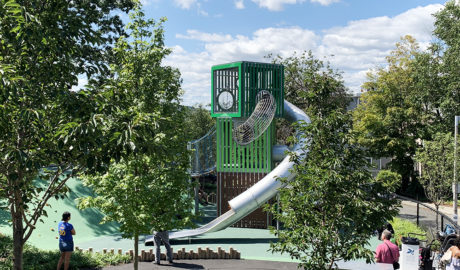
Description
An extension of the Neponset River Master Plan, completed in 2007, the Neponset Greenway Corridor Completion Project will complete a bicycle and pedestrian route that links urban and suburban communities between Boston Harbor and the Blue Hills Reservation over 8 miles away. It expands upon a heavily used bicycle/pedestrian network in the Boston area, creating healthy transportation options and seamless connections between diverse communities and links to job centers, higher education institutions, and recreational opportunities. Already hosting some 10,400 riders, walkers, and runners each day, the completed Corridor is expected to see usage more than double.
The Project includes three segments: two existing sections that will be lengthened and improved, and a new middle section to connect the existing segments, thereby “filling the gap” and leveraging the existing investments that have been made at the federal, state and local level. Collaborating with DCR, CSS worked on numerous grant applications and developed a website for the project, since incorporated into the client’s public internet presence: http://www.env.state.ma.us/Neponset_River_Greenway_Corridor/
CSS completed the final design of the segment between Central Ave and Blue Hills Ave in Mattapan and Milton, and the trail finished construction in Spring 2017. A new pedestrian bridge over the Neponset River connects to Ryan Playground in Boston and an 1100-foot-long Canopy Walk carries users through an existing mature oak grove over the rail line to Mattapan Station and Mattapan Square.


